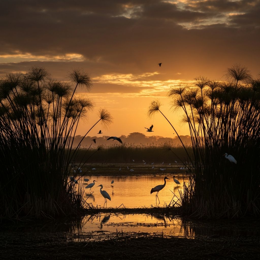
Our Solutions
Technology that protects what nature built
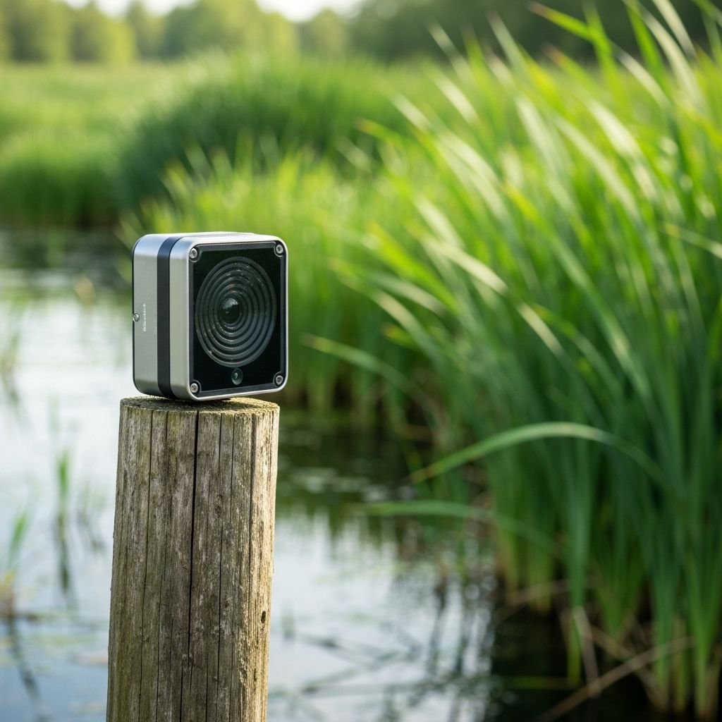
IoT Sensor Network
Our solar-powered sensors are placed throughout wetland ecosystems to measure water levels, temperature, pH, turbidity, and dissolved oxygen. Data is transmitted in real time to our cloud platform.
24/7
Monitoring
6+
Parameters Tracked
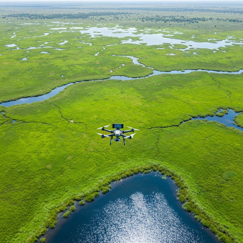
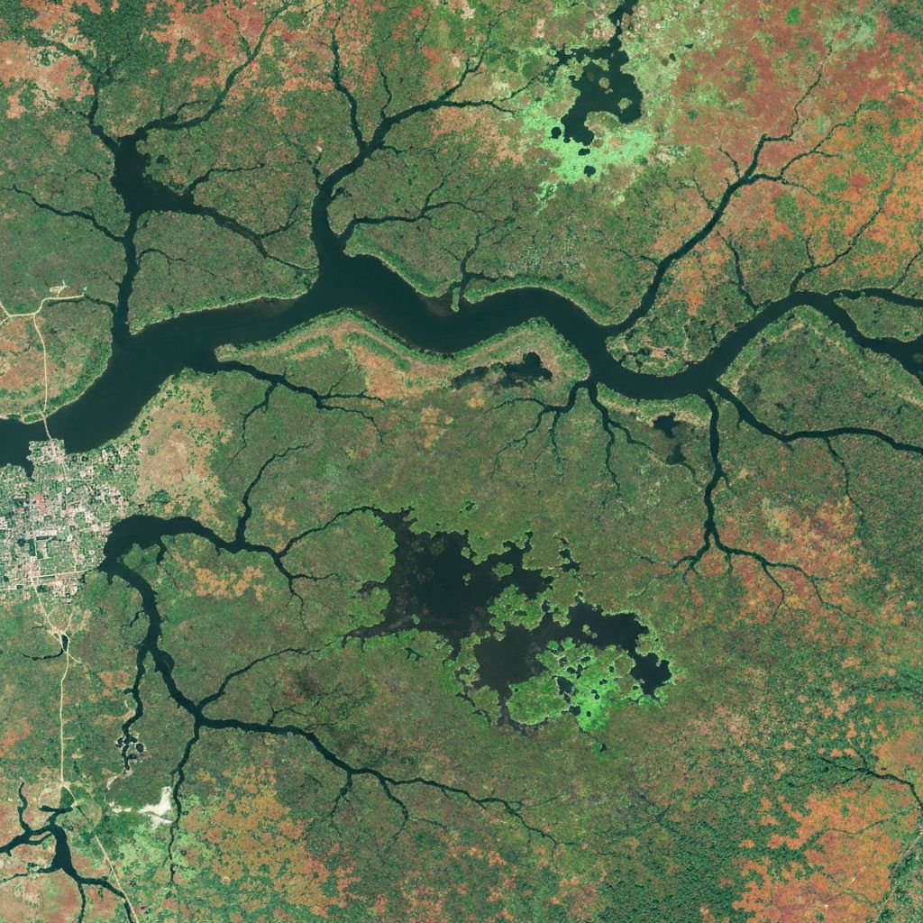
Satellite & Drone Imagery
We combine satellite data with drone surveys to monitor changes in wetland boundaries, vegetation health, and land use. Our image analysis detects encroachment and degradation before it becomes irreversible.
Weekly
Satellite Passes
cm
Drone Resolution
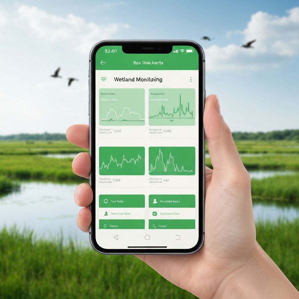
Mobile Alert System
Our mobile app delivers instant push notifications when sensor thresholds are breached or satellite imagery detects changes. Community leaders, authorities, and conservationists receive actionable alerts they can respond to immediately.
<30s
Alert Delivery
SMS + App
Dual Channels
Platform Capabilities
Built for action
Real-Time Monitoring
Continuous data streams from sensors deployed across wetland sites.
Instant Alerts
Notifications sent to communities the moment anomalies are detected.
Threat Detection
AI-powered analysis to identify pollution, encroachment, and degradation.